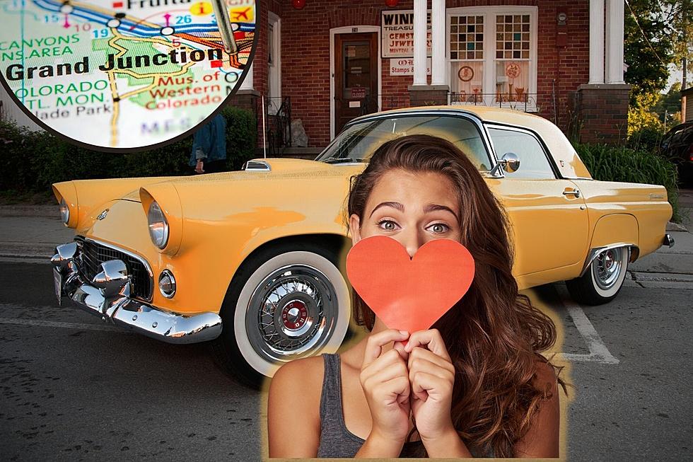
Here’s The Story Behind Grand Junction’s Lettered and Numbered Roads
There's a perfectly good and logical reason why the city of Grand Junction and Mesa County use fractions in street and road names -just in case you're wondering.
It's interesting how different communities map out the roads in their towns and counties. You may have come from a place where each road has its own number. There are no 1/2s or 3/4s. Some places make it very confusing by using decimals - like Road 25, Road 25.25, Road 25.388, etc. Grand Junction's numbering and lettering system might be odd to a stranger - but it actually makes perfect sense.
Starting With the Basics
Mesa County's numbered roads run north and south, while the lettered roads run east and west. Once you understand that concept the rest is pretty easy.
What Do the Numbers Mean?
The numbered roads in Mesa County tell you how far you are from the Utah state line. If you are on 24 Road, you are 24 miles from the state line. If you are on 24 1/2 Road. you are 24 1/2 miles from the state line, but you are also a 1/2 mile from 24 Road and a 1/2 mile from 25 Road. Some roads are named in tenths because of the last digit of your odometer which measures in tenths. You have 36 3/10 Road, which is three-tenths of a mile past 36 Road. But you also have 36 5/8 Road and 36 1/4 Road, which can only add to the confusion. You never go five-eighths of a mile - you go a little over half a mile, right?
A Similar Principle For Lettered Roads
The lettered roads in Grand Junction and in Mesa County run east and west - and also break down into fractions as needed. Starting with A Road on Orchard Mesa, the roads are placed at one-mile increments across the county, moving through the alphabet. The last lettered road is T Road, north of Mack.
If you are on B 1/2 Road, you are a 1/2 mile north of B Road. B 4/10 Road is going to be four-tenths of a mile north of B Road. Just remember, if you are on a single-lettered road like F Road, the next lettered road is generally going to be a mile in either direction.
The Past Combines With the Future With A Confusing Result
Back in the 1880s when Grand Junction's streets were arranged, 12 streets were laid out within one mile. Consequently, 1st Street becomes 26 Road and 7th Street becomes 26 1/2 Road. That part can take a little getting used to. Both pictures below are at the very same intersection Patterson and Seventh. But, look what happens if you turn north off of Patterson?

The Hard Part Can Be Remembering Which Fraction It Is
As you can see, the layout of the lettered and numbered streets in Grand Junction and across Mesa County is all perfectly logical and pretty simple. Just don't overthink it. If you're like me, the biggest problem is remembering if the road you want is 1/2, 1/4, or 3/4.
Grand Junction Colorado Streets with the Most Unique Names
Grand Junction Colorado's Least Favorite Roads To Drive Down When it Snows
More From ESPN Western Colorado